About Shiwomeh Desmond Ndre
Environmental engineer and plastic-pollution researcher using GIS + machine learning to reduce flood risk and improve WASH outcomes for vulnerable communities.

35emergency latrines supervised (IDP response)
500+volunteers mobilized in city clean-up (10+ tons)
1,500+students mentored across 40+ ISA programs
How I work

Climate & Flood Intelligence
Hazard & vulnerability mapping and early-warning planning for the most exposed communities.

WASH Systems Design
Sanitation networks, treatment stations, and potable-water storage & distribution.

GIS & Machine Learning
Remote sensing + ML to predict hotspots and guide mitigation at scale.

Impact Assessment & Reporting
Clear, data-driven reporting and stakeholder engagement.
My Story
From civic action to field delivery Volunteer leadership (JCI, AIESEC) and Keep Yaoundé Clean built my practice around measurable community impact.
WASH & emergency response From wells and springs to emergency latrines and hygiene campaigns in crisis-affected towns.
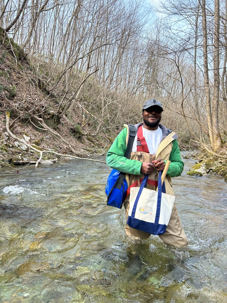
Research for action A PhD pathway focused on integrated flood-risk mapping and sediment plastic debris in urban rivers.
Evidence first
Design for equity
Learn by doing
Open collaboration
Experience highlights
- WASH Technician/Officer — Reach Out NGO (2019–2022): emergency latrines, wells, and hygiene promotion in Southwest Cameroon.
- CDE (Messa & Mefou): designed a potable-water network extension serving ~1,200 buildings; monitored treatment operations.
- Ministry of Water & Energy, Cameroon: produced GIS database of boreholes for Mfoundi.
- SOPREC – Biyem-Assi WWTP: managed a phyto-treatment wastewater plant.
Domains of Competence
- Flood risk assessment & early-warning systems
- Sanitation network & waste-treatment design
- Potable water treatment, storage & distribution
- GIS/Remote sensing & ML for flood/SPD mapping
- Environmental Impact Assessment
- Data/statistical analysis & reporting
